City map
Every landmark, food stop and viewpoint, plus four self-guided walks.
Filter what you see
Tick a layer to show or hide it. Tap any pin for hours, prices and a
link to the full guide. Points come from data/map.json.
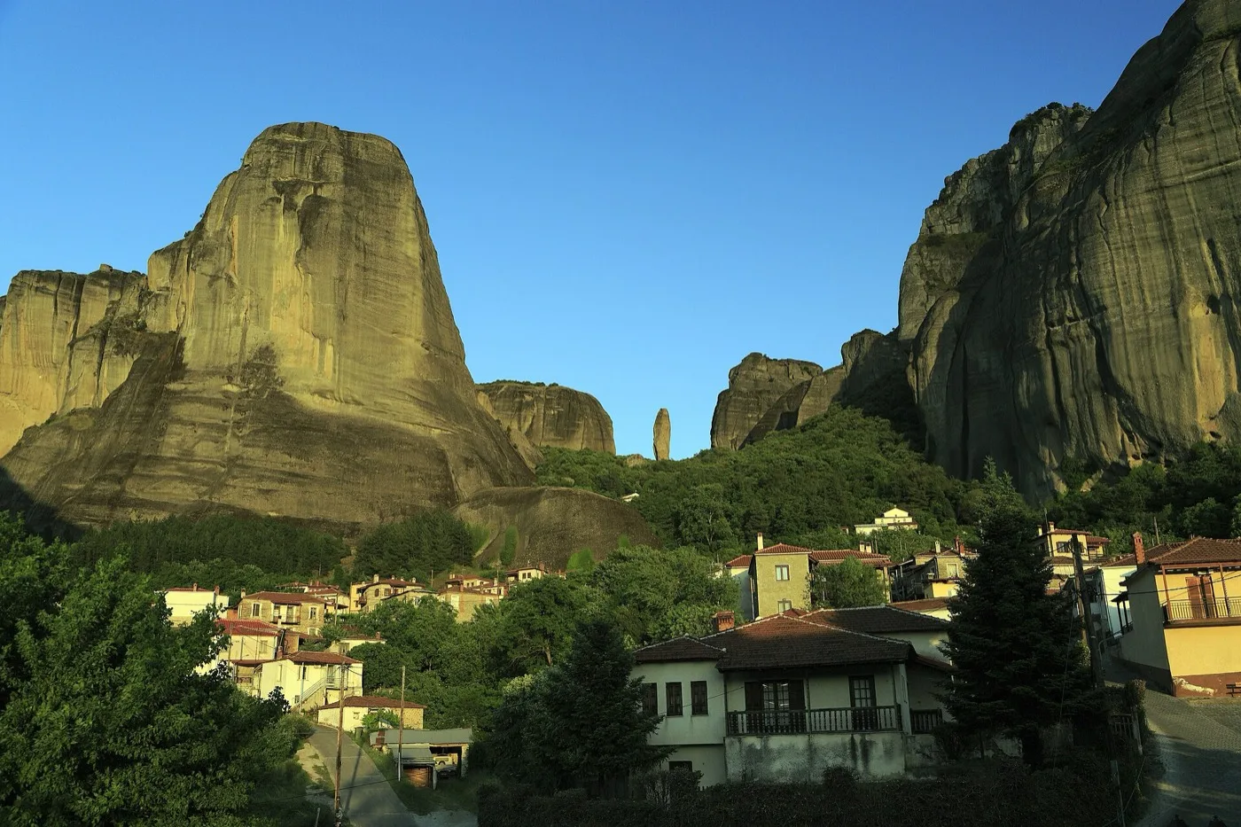
Four walking routes: kastraki-anapafsas, great-pair, east-pair, town-loop. Pins cover the six monasteries, Theopetra, KTEL stops, Kalambaka and Kastraki.
Map data © OpenStreetMap contributors. Tiles © OpenStreetMap.
Self-guided routes
Each route is one-way, ordered to avoid backtracking, and opens in Google or Apple Maps with every stop pre-loaded.
Kastraki to Anapafsas (id: kastraki-anapafsas) — 2–3 hours on foot from the village under the rocks to St Nicholas Anapafsas, then Rousanou. No bus required if you start in Kastraki. Anapafsas is open daily 09:00–17:00; Rousanou is closed Wednesday (Infotourist Meteora). Typical €5 cash at each gate.
Great Meteoron and Varlaam (id: great-pair) — 3–4 hours with entries. KTEL monastery bus (€2.00, ktel-trikala.gr, Aug 2026) to the top, then walk between the two houses. Great Meteoron closed Tuesday (meteoromonastery.gr); Varlaam closed Friday. Do not plan both on those days.
Holy Trinity and St Stephen (id: east-pair) — 3–4 hours. Steep path to Holy Trinity (~140 steps), then the level bridge at St Stephen, downhill to Kalambaka. Holy Trinity closed Thursday; St Stephen closed Monday. St Stephen has a lift. Kalambaka to Kastraki (id: town-loop) — 45–70 minutes on town streets and the signed road. Use it to reach hiking paths without waiting for the monastery bus. Stops published by Infotourist Meteora.
How to use this map for monastery days
Start in Kastraki or Kalambaka, ride the €2 KTEL monastery bus uphill once, then walk downhill between houses. Never plan Great Meteoron on Tuesday or Varlaam on Friday.
Pins on the landmarks layer cover all six active monasteries plus Theopetra Cave. Transport pins mark the Kalambaka KTEL station and the main monastery-bus stops used on the Infotourist / KTEL Trikalon circuit. Food pins stay in the villages — there are no reliable cafés on the rocks, so eat before you climb or pack water and snacks.
Closing days change the whole day shape. Great Meteoron is closed Tuesday in summer (meteoromonastery.gr); Varlaam Friday; Rousanou Wednesday; Holy Trinity Thursday; St Stephen Monday; St Nicholas Anapafsas is usually open daily in season — confirm on the day with Infotourist Meteora. Typical entry is €5 cash at each gate; dress code (covered shoulders and knees) is enforced at every active house.
If you only have one full day, combine the great-pair route with a second house that is open that weekday, then finish in Kalambaka for dinner. With two days, add the east-pair (Holy Trinity steps + St Stephen bridge) and keep Theopetra for a cooler morning or a rainy slot. Full timed plans: Itineraries. Hours and tickets: See & Do.
Drivers: park in Kalambaka or Kastraki and use the bus or short taxi hops for the upper circuit — the monastery road is narrow, coach traffic peaks mid-morning, and spaces at the upper lots fill early in July–August. Walkers: the signed paths between Kastraki and Anapafsas are real trails, not pavement; wear shoes with grip and carry water even in shoulder season.
Using this map without signal
Download the area before you arrive. In Google Maps, search “Kalambaka” or “Meteora”, tap the place name, then Download offline map — cover Kalambaka, Kastraki and the monastery circuit, not only the town plateia. In Organic Maps (free, OpenStreetMap, no account), download the Thessaly / Trikala region. Signal drops on the rocks and in Theopetra; the four routes above still work from the saved map.
EU plans usually roam in Greece at no extra cost. UK and other non-EU visitors should buy a Greek prepaid SIM or eSIM before the climb — Cosmote, Vodafone and Nova all cover Kalambaka; check current packs locally. Do not rely on café Wi-Fi for turn-by-turn on the steps. The in-page map here needs a first load of data/map.json; after that, keep the four route names (kastraki-anapafsas, great-pair, east-pair, town-loop) written down.
Printed backup: photograph the layer list and the four route blurbs on this page, or jot the stop order before you lose signal on the steps to Holy Trinity. If the interactive map fails to load, the same pins live in Getting Around (bus) and Areas (village orientation).